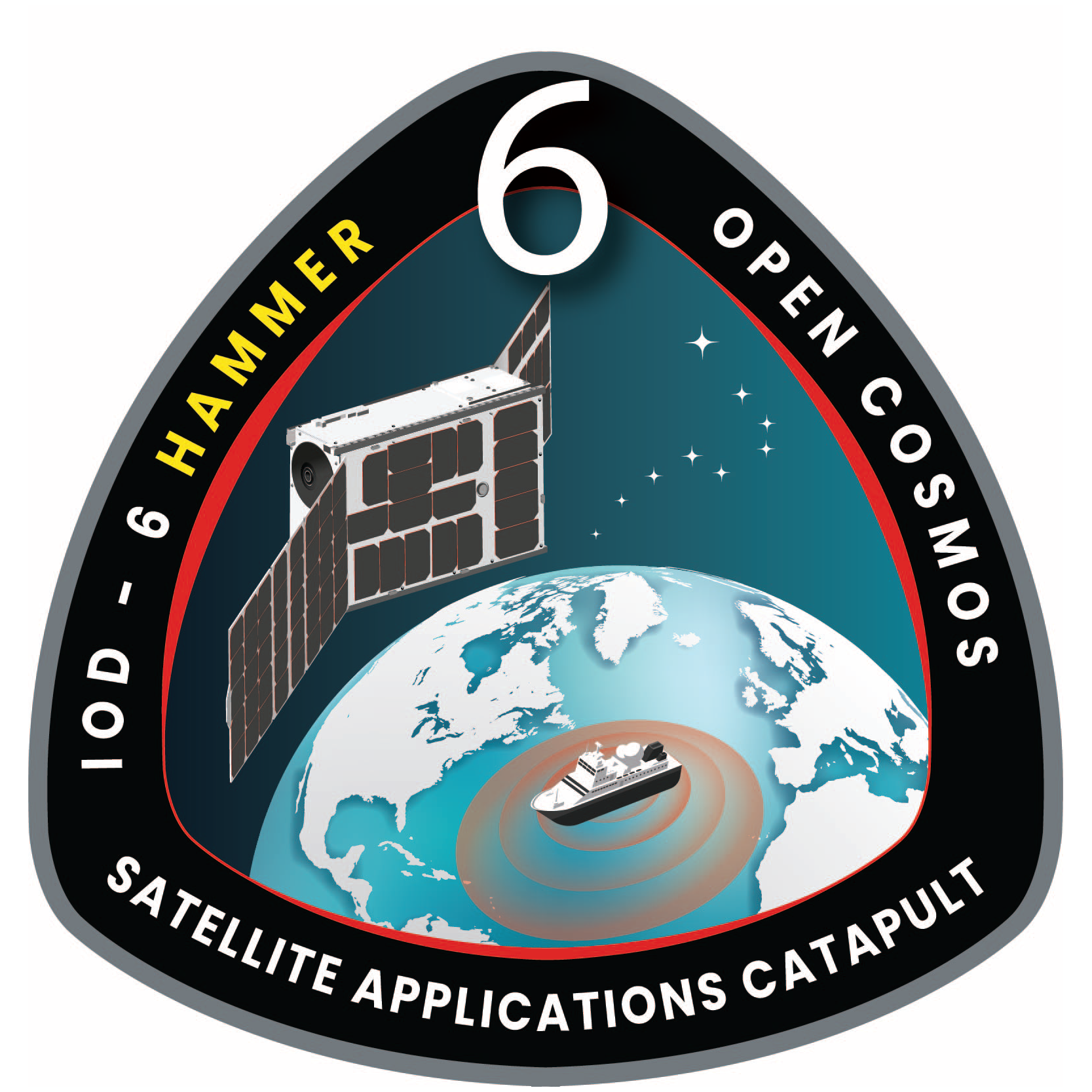
HAMMER, which stands for Hyperspectral AI for Marine Monitoring and Emergency Response was built through key technical features with capabilities to monitor the Atlantic and help mitigate illegal fishing with near real-time data.
The Hyperspectral Imager onboard HAMMER captures images across hundreds of narrow spectral bands, offering detailed information about the composition of objects or scenes enabling applications for environmental monitoring.
This satellite also counts on two AI boards that significantly reduce the amount of data downloaded from orbit by analysing it before download and enhances intelligence for disaster response, agriculture, and urban planning. Additionally, it increases autonomy for immediate decision-making in emergencies.
Also, the HAMMER’s Inter-satellite link allows sending all the data across other satellites, eliminating the need to be closer to one of the antennas beforehand providing a very quick data download, flexibility, security, and cost-effectiveness. Between the benefits HAMMER brings to our planet, we can include the monitorisation of illegal fishing by tracking vessels in the ocean and the help to mitigate climate change.
HAMMER's mission was a successful In Orbit Demonstration (IOD). Just 24 hours post-launch, our Flight Team has accomplished remarkable feats: the successful download and processing of our first hyperspectral image due to the key technologies of this satellite. With these amazing milestones achieved, we stand ready to explore new capabilities, unlock innovative use cases, and forge strategic partnerships at the forefront of AI technology.
Key Features
Satellite: 6U
Partners: Satellite Applications Catapult, Ubotica
Payload 1: Hyperspectral Imager
Payload 2: Two AI Boards
Payload 3: Inter-satellite Link
Mass: 9.07 kg


